
Smar Jbeil features a medieval castle that dominates the sea from the top of its promontory.
Little is known about the ancient history of the fortress as it was mostly mentioned during the Ottoman era.
*Any articles or books claiming that the site was a stronghold for Phoenicians, Assyrians or other ancient civilizations is not accurate since it was not confirmed through historical records or archeological findings *
Toponym
Smar Jbeil is an Aramaic designation given to the village that means “the Guardian of Jbeil”.
Timeline
1st millennium BC – 5th century AD – The village saw a human occupation throughout the classical antiquity. This is attested through ceramic shreds discovered on site, as well as rock reliefs and other structural remnants.
7th century AD – The first Maronite patriarch Jean Maron temporarily settled in the village during the Islamic era.
12th century AD – Smar Jbeil’s fortress was founded by the Crusaders, and was part of the fief of Batroun (Boutron during the crusader era).
13th century AD – Similar to most of the Crusader fortresses, Smar Jbeil’s was probably taken by the Mamluks.
14th century – under Ottoman rule, the castle became the seat of the Bani Assaf. The Khazen feudal family was granted the fortress by Emir Fakhreddine II after chasing down the Ottoman’s allies – the Bani Assaf.
1630 – The fortress was severely damaged during an earthquake which saw its donjon destroyed.
1960s – The fortress’ donjon was restored by the General Directorate of Antiquities.
2012 onwards – the fortress underwent minor restoration works.
Structure
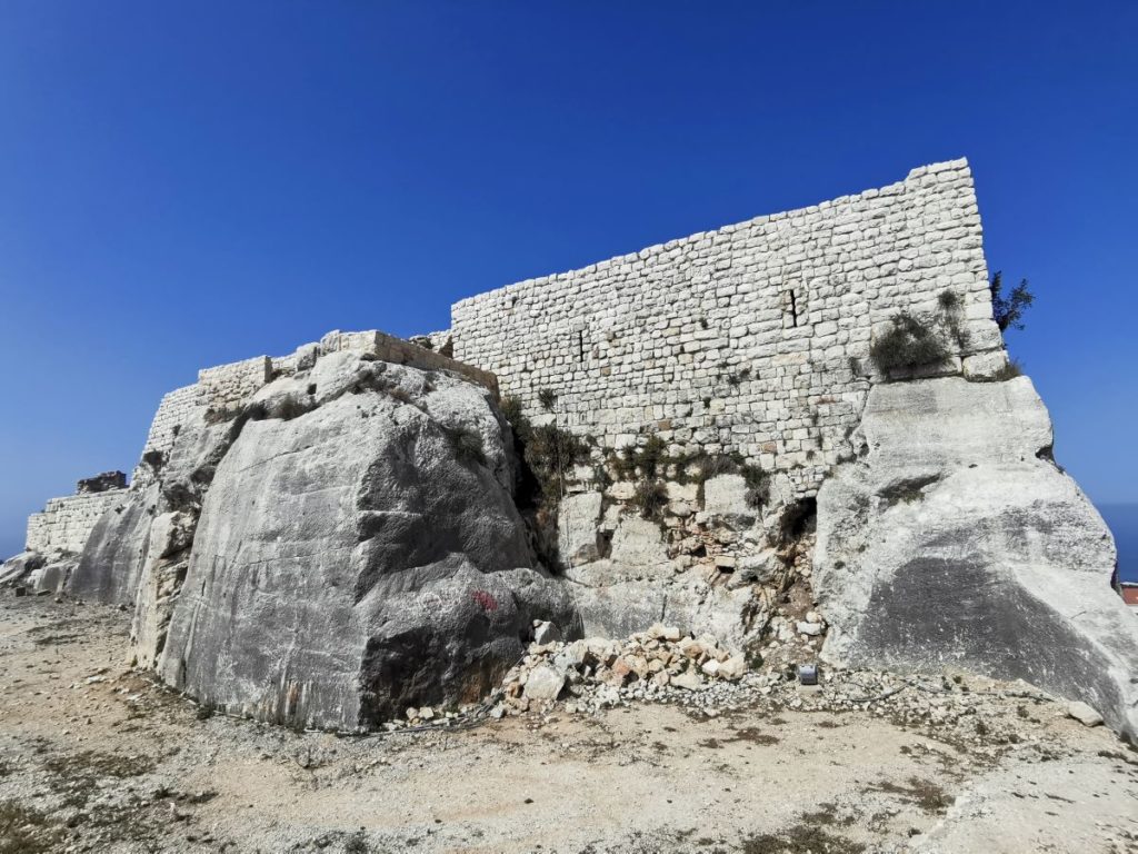
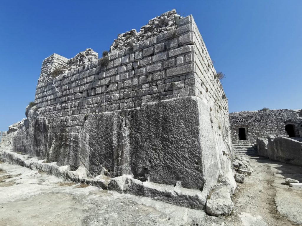
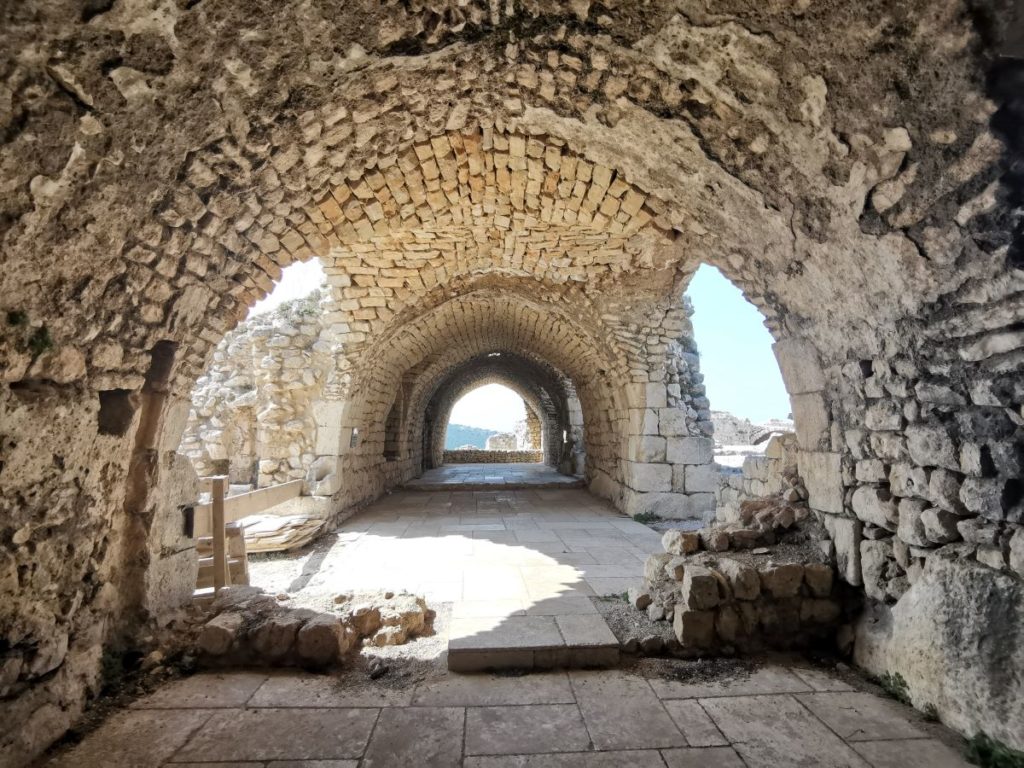
The fortress is made up of an enclosure wall that features the following structural elements:
Ditch – it is 15m long, carved in the rock and defended by arrow slits (“Tranchee” on the map).
Entrance – the main entrance of the fortress is controlled by a salient (“G” on the map).
Square tower – this defensive structure is located on the west corner of the enclosure (“B” on the map).
Donjon – resting on a rocky base, it is an imposing structure of 3m wall thickness and measured around 15×13.50m.
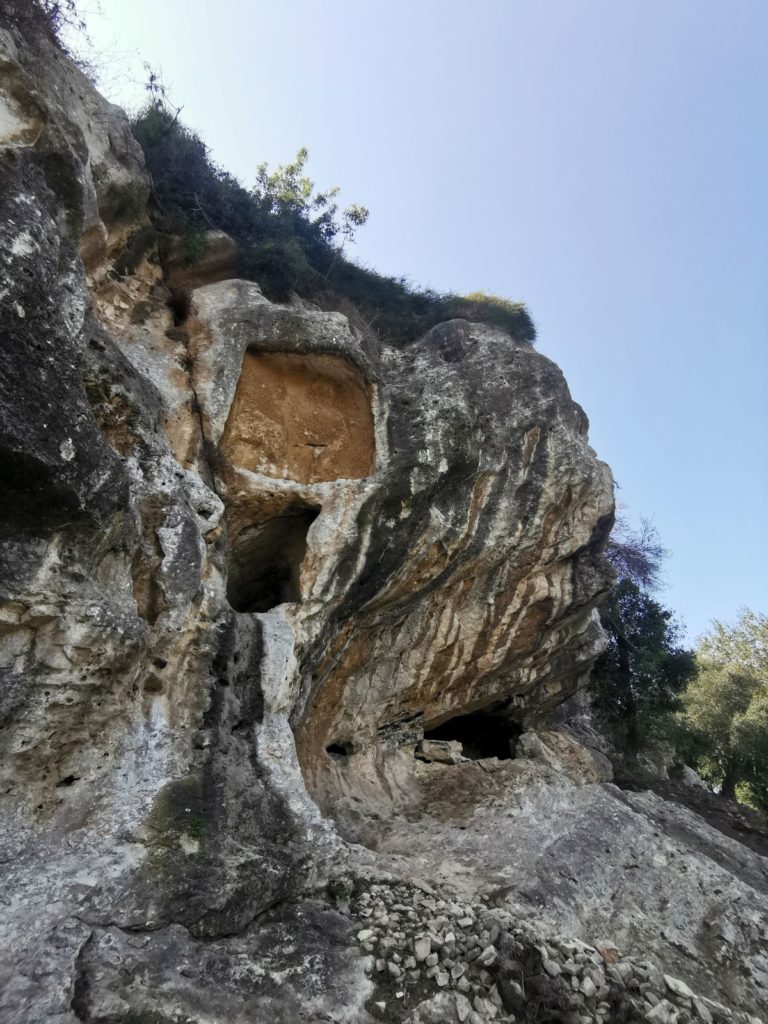
Bas-reliefs – around the castle, one can spot a bas-relief carved into the rock on the north cliff. The first set features a row of six ovoid shapes. It is difficult to say whether these are sketched characters who could represent the deceased buried nearby or “betyles” – sacred stones that were worshiped at various times. On the wall nearby, another scene is featured:
a figure kneeling in front of another seated, and which would represent a god or a king. The relief’s date is unknown.
Cavities – Several cavities can be spotted and take the form either of simple individual tombs carved into the rock which can be found in and around the fortress, or of real funeral rooms arranged in the north cliff and which can accommodate several burials. Not having been studied yet, their dating also remains unknown.
Presses – several rock-carved oil and wine presses with vats can be seen at the east and west side of the fortress, as well as many scatered cisterns.
Karim Sokhn
Tour Operator & Tour Guide
References:
http://www.lorientjunior.com/article/1014/exploration-archeologique-a-smar-jbeil.html
Les Chateaux des Croisds en Terre Sainte III, La Defense du Comte de Tripoli et de la Principaute d’Antioche.